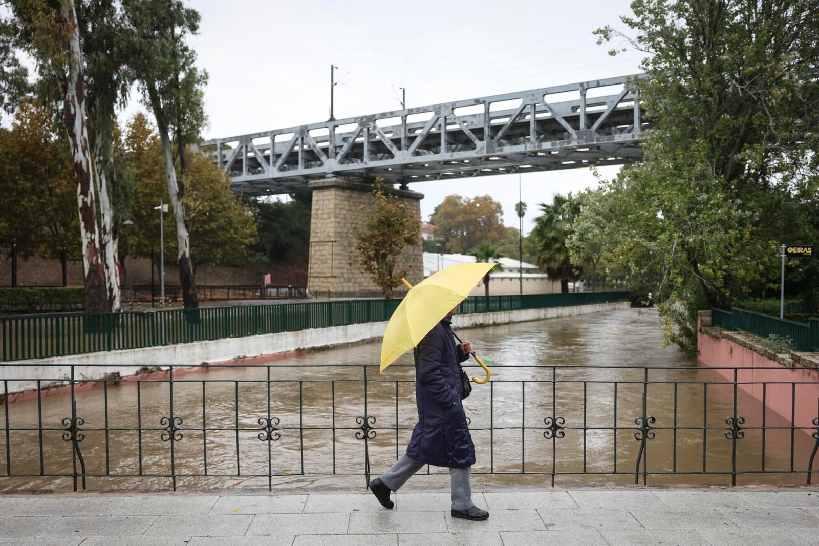
The worst of Storm Charles has now passed, leaving a trail of damage and disruption across parts of mainland Portugal and the Madeira archipelago. But the country is not out of the woods yet, with meteorologists warning that a new succession of Atlantic storms could bring further heavy rain, strong winds and rough seas until at least November 18, reports CNN Portugal.
The latest forecasts come after Storm Charles took an unexpected turn, following a trajectory significantly different from that predicted by weather models just hours before its arrival.
According to weather monitoring platform Meteo Trás os Montes, the storm exposed an “extraordinary forecasting failure”, with its actual path differing by hundreds of kilometres from earlier projections.
In a statement published on Wednesday (November 11), the platform described Charles as a storm that had managed to surprise virtually everyone.
Its author, who has more than 20 years of experience analysing meteorological models, said he had “never witnessed an error of such magnitude less than 12 hours before a weather event”.
The storm moved considerably further south than initially expected, eventually reaching Morocco and sparing some areas from the worst of the conditions originally forecast.
However, Charles still left a trail of damage and disruption across parts of mainland Portugal and Madeira, with flooding, fallen trees and landslides among the main consequences.
Madeira was particularly affected, recording around 200 weather-related incidents overnight. Funchal, Santa Cruz, Câmara de Lobos and Machico were among the worst-hit municipalities, with flooding, landslides, fallen trees and damage to homes and vehicles. In Ribeira Brava, several houses were flooded, while blocked roads left some residents isolated in Santa Cruz.
On the mainland, Greater Lisbon and the Setúbal Peninsula experienced widespread flooding and fallen trees. The Algarve also suffered significant disruption, recording 76 incidents by 2pm on Wednesday, including 29 fallen trees, 18 flooding incidents and road closures in several municipalities, according to Portugal’s Civil Protection authority (CREPC Algarve).
Forecasting failure raises questions
Meteo Trás os Montes stressed that the forecasting errors should not be confused with failures by the authorities.
The Portuguese Institute for Sea and Atmosphere (IPMA), Civil Protection and the government all acted on the information available at the time, it said.
The platform warned against using the unexpected development to undermine public confidence in weather warnings or preventive measures.
It argued that the episode should instead prompt a detailed scientific review of why the main forecasting models, particularly the European model, struggled to predict the storm’s trajectory.
The unusual development nevertheless raises questions about how Portugal should respond to future severe weather warnings, particularly after the government decided to close “non-essential public services”, including schools, as a precaution ahead of Charles. Several private-sector businesses followed suit, including the Pingo Doce supermarket chain, which temporarily closed stores in response to the weather warnings.
With further storms approaching, will the government take the same preventive measures, or will the unexpected outcome of Charles influence its response next time?
The question is particularly relevant given the uncertainty that can surround even short-term weather forecasts and the potential consequences of failing to act when severe conditions are predicted.
New ‘storm corridor’ approaching
According to CNN Portugal, a new “corridor of storms” is expected to affect Portugal from late Sunday (November 15), bringing three days of persistent rainfall, strong winds and rough seas.
Climatologist Mário Marques told the broadcaster that the new weather systems would mainly affect northern Portugal and the western coastline, unlike Charles, whose effects were concentrated further south.
Areas including Porto, Coimbra and Leiria could experience unsettled conditions, although the specialist does not expect impacts on the same scale as those initially associated with Charles.
The forecast points to successive Atlantic depressions accompanied by cold fronts, bringing significant rainfall between Monday and Wednesday.
Accumulated rainfall could reach 100 to 150 millimetres over three days, particularly in northern Portugal and mountainous areas.
Wind gusts could reach 70km/h, while waves along the coast could rise to five metres.
There should, however, be a temporary improvement between Friday and part of Sunday before the next weather systems arrive.
Could the next storm be named Diane?
The next depression to receive an official name would be Diane, although Mário Marques considers it unlikely that the approaching systems will meet the necessary criteria.
Naming would depend on the evolution of the weather systems and whether conditions warrant orange or red meteorological warnings.
The unsettled weather pattern is being driven partly by high pressure over Europe and the Azores anticyclone remaining further south, creating favourable conditions for successive Atlantic depressions to reach the Iberian Peninsula.
Spain is also expected to be affected.
For now, the message from meteorologists is that the country should remain prepared for further episodes of heavy rain, even as the extraordinary behaviour of Charles prompts questions about the reliability of forecasts and the difficult decisions facing authorities when severe weather threatens.
Readers will recall the devastating effects of Storm Kristin, which struck Portugal in the early hours of January 28, 2026, causing widespread destruction across central Portugal. Leiria was among the hardest-hit areas, with homes, businesses and infrastructure severely damaged, thousands of trees uprooted and hundreds of thousands of people left without electricity. The storm claimed several lives and caused billions of euros in damage, serving as a stark reminder of the importance of taking severe weather warnings seriously.